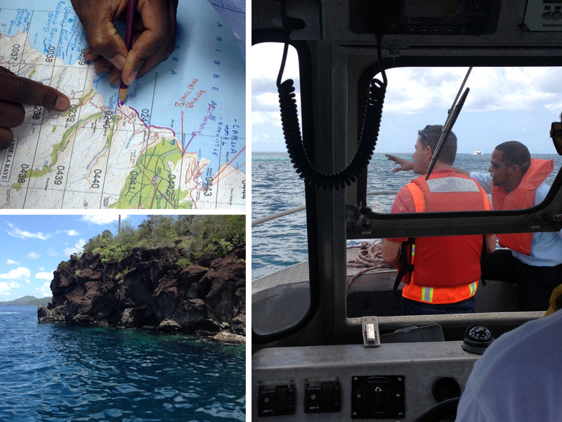
IMO is funding the development of Environmental Sensitivity Index (ESI) Maps, an important oil spill response preparedness tool, in Saint Lucia. The Government of Saint Lucia is being assisted in the mapping by the Regional Marine Pollution Emergency Information and Training Center for the Wider Caribbean (RAC REMPEITC-Caribe), whose experts have been touring the island this week (4-8 April 2016) to collect Geographical Information System (GiS) data and photos used to catalogue and chart coastal resources at risk.
The final ESI Maps are expected to be delivered by RAC REMPEITC-Caribe, represented by Mr. Paul Lattanzi, to Saint Lucia this Spring. Saint Lucia's Director of Maritime Affairs, Mr. Christopher Alexander, said: “We are very grateful for the technical cooperation from IMO to develop ESI maps. ESI maps are a very important tool for contingency planners and oil spill responders and having these maps for Saint Lucia will be a great step forward for our country".
